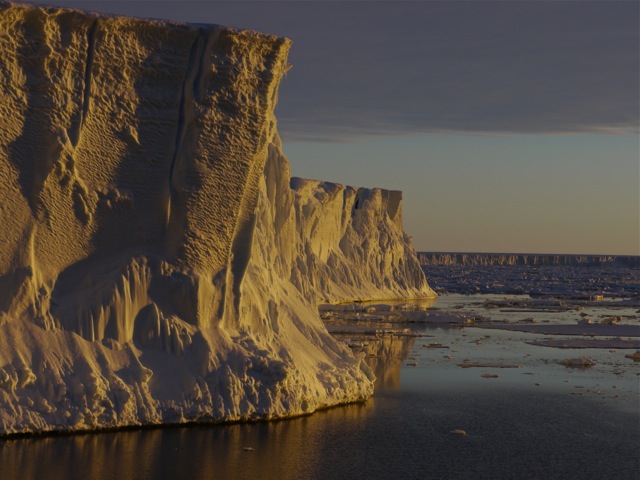
GPS measures Ice Train position to within a few centimetres!
This is the second in our series of summaries by scientists behind The Coldest Journey’s many research projects.
By Dr Jeremy Wilkinson:
Knowing our location accurately is important for many activities; for example, millions of people use the GPS on their smart phones to find shops, restaurants or to navigate city streets. These systems have an accuracy of around 10 meters in the horizontal, but are much worse for vertical or altitude measurements. However, imagine if you could better these accuracies to be within a few centimetres of your exact location, in both the horizontal and vertical. Recent advances in high-end GPS technology allows us to do just that.
We have taken advantage of this technological leap and have mounted one of these GPS units onto the roof of one of the tractors in this expedition. Therefore, by knowing the height of the GPS antenna, along with the distance from the GPS antenna to the snow surface, the surface elevation of the Antarctic ice sheet can be monitored, to within a few centimetres, along the traverse. These GPS datasets are extremely valuable to determine and understand how an ice sheet is responding to a warmer climate. Importantly these data can be compared directly to similar satellite measurements in order to better calibrate these space-borne sensors.


Comments are closed